I made weather icons again, they are actually kinda good this time
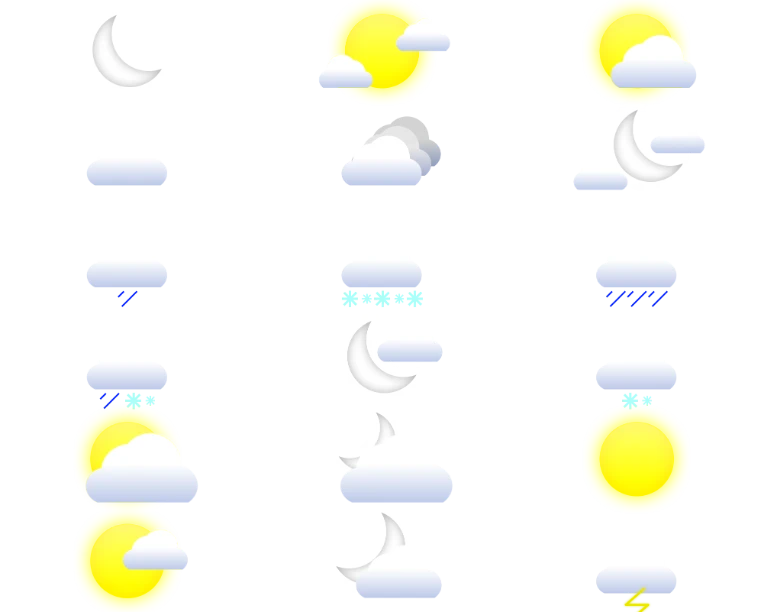
a few are missing but for what it is it's good i guess
Maybe if i finish all of them i'll make a background and post them in the art section
⛈️
Homme
newgrounds
newgrounds
Cloud 9
Joined on 4/29/21
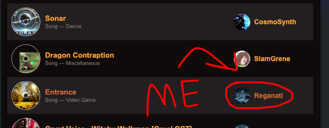
Posted by Reganati - January 27th, 2025
I start a lot of my songs in ultrabox, cuz i think it's easier to start a song in there than in fl studio. Many of my best songs actually started in beepbox or ultrabox and then moved to fl studio. Right now i'm working on a song named "Flowers". This song originates from a dream back in mid-2023. I did the lead and bassline, and then took a nap... I said in my head that i would finish it when i woke up, but then i proceeded to forget about it for 1 and a half years... (oops 😅)
I took a nap earlier and had a dream where i remembered it, and did part of it in ultrabox.
Anyway i added some chords and tweaked the lead melody a tiny bit but other than that it's pretty much the same as it was in 2023
Anyway, i plan on turning this into an actual fl studio song soon, i post the "sketch" here because... that's what i did in my dream, and of course everything you do in dreams is a good idea
Posted by Reganati - January 19th, 2025
Am i the only one who doesn't really care about tik-tok being banned? At least on the surface level... I understand that maybe people use it for promoting their business, but i still have trouble caring.
I'm hearing that maybe once we get the new president he's gonna get it back up but idk
I did get tik-tok once, when i was younger, sometime during quarantine. I went to the science section and then saw some blonde girl shaking her ass. I was sharing the phone i was using, so i just said "nope" and deleted it.
I was walking home with my brother the other day, and he said he didn't care cuz he was just getting tired of being in the background of random people's dance videos at school...
I guess people are just gonna move to rednote or post stuff on instagram or whatever
Basically tik-tok is getting banned and i don't care
Posted by Reganati - January 13th, 2025
I GOT FRONTPAGED AGAIN????? pretty early in the year for that lol...
I just got back home like a hour ago, and actually i was gonna take my daily afternoon nap, but i guess that can wait
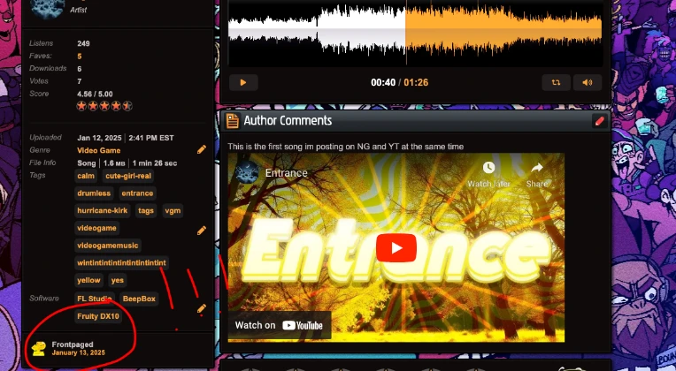
i'll HAPPILY take it though, Thanks to whoever thought my song was good enough to feature :D, and last but not least, thank you to the ppl who listen to my songs even when i don't get frontpaged
Posted by Reganati - January 12th, 2025
If the last song was about the sleeping piranha plant from mario 64, this song is about that piranha waking up and moonwalking into a time machine. I wanted to make a funky song because, again, why not?
Also 2 songs in 1 day? Immaculate.
i've been working on this song for like 4 or 5 days, so i'm glad that it finally is done.
Posted by Reganati - January 12th, 2025
This song was inspired by the sleeping piranha from mario 64, i wanted to make a calming song because... Why not?
I didn't add any drums or anything just a couple of instruments
This song took like 30 minutes to an hour. I think you'll like it. ESPECIALLY you Michael. How do i know? I always know 🔮
Posted by Reganati - January 6th, 2025
Whenever i remake a song, imma title the news post "New Song Remake" so that people know when to get disappointed when i upload
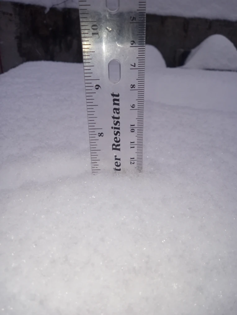
I wasn't actually planning on uploading this song, but it snowed quite a bit today, and i like snow, so now i'm in a good mood.
I made this back during september, and i'm just getting around to posting it now cuz i couldn't export anything when i made it...
I said i didn't like the vibe of the original one that much, it's kinda sounds like a song that would play during an intense match of monopoly, whereas now it kinda sounds more like
I think my boy had quite the glow-up, i still like the original song more but this song is cool ig... I'd rate it like 3.8/5
Oh, and this is the original, all the way back in july
as for -*(F E N C E)*- 2, i did say that i wanted to remake it, (maybe) and i'm still on the fence about that rn, but i know i wanna atleast make 1 or 2 new songs before i attempt to do that.